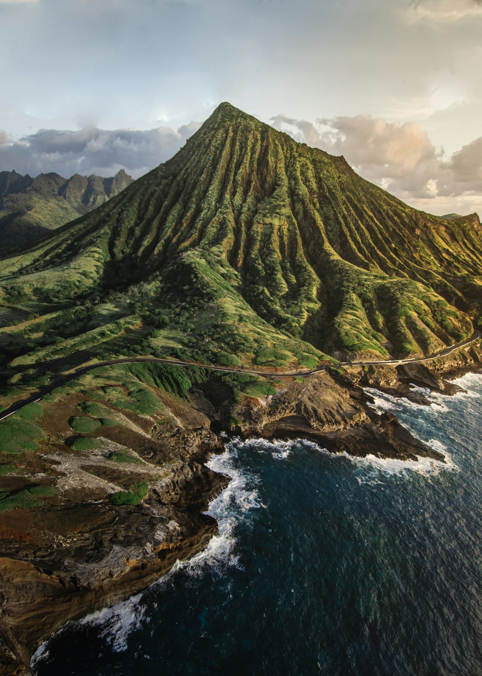
Hawaiʻi Volcanoes National Park
Volcano, Hawaiʻi Volcanoes
An Active Volcano — Open, but the Kīlauea Summit Is Unstable and Closures Change Fast
Hawaiʻi Volcanoes National Park centers on Kīlauea, one of the world's most active volcanoes, with a summit caldera, steam vents, the Uēkahuna observation deck, and Chain of Craters Road down to the coast. The park is open, but the Kīlauea summit is unstable and conditions change quickly.
Current status (reports through October 7–8, 2026): Kīlauea is at alert level Watch (aviation color code Orange). On October 7 the park closed Halemaʻumaʻu Trail and part of Byron Ledge Trail (1.3 miles) because of ongoing inflation and increased seismicity, with more than 200 shallow earthquakes in the past week and new cracks on the caldera floor; viewing areas on the Keanakākoʻi side are also closed. Scientists can no longer forecast the next lava fountain, and lava fountaining could resume in Halemaʻumaʻu Crater or another magma intrusion could occur. Cliff edges are unstable and can collapse without warning.
Storm closures from August (Hurricane Lala) also affected the park: as of August 28, Mauna Loa Road beyond Kīpukapuaulu, Kīpukapuaulu Trails, Nāmakanipaio Campground and cabins, and the Kahuku Unit were closed until further notice. The Kīlauea Visitor Center has been closed for renovation since February 17, 2025, with the Welcome Center at Kīlauea Military Camp serving as the temporary base for ranger services, maps, and the park store. A 7-day entrance pass is $30 per vehicle (per third-party guides; the Hawaiʻi Tri-Park annual pass is $55). Other hazards: volcanic gas and vog, tephra and ash during eruptive episodes, a summit about 4,000 feet up that runs 12–15 degrees cooler than sea level, and no shuttle or public transit in the park — fill your gas tank before Chain of Craters Road.
Why Roamwise recommends this
The island's signature natural wonder — go with flexible plans, check the park's live alerts the same day, and stay out of every closed area.
Best for: volcano viewing, a half- or full-day outing, first-time visitors to the island.
Insider tip: check the NPS conditions page and USGS updates before driving up; eruptive episodes can last only hours and viewing areas can close without notice.
- Hazards / conditions:
- Unstable cliff edges that can collapse without warning; volcanic gas and vog; tephra and ash during eruptive episodes; rockfalls and new ground cracks at the summit; possible sudden resumption of lava fountaining or a new magma intrusion.
- Safety notes:
- Post-hurricane and eruption status changes quickly: Halemaʻumaʻu Trail, part of Byron Ledge Trail, and Keanakākoʻi viewing areas were closed Oct 7, 2026; Mauna Loa Road beyond Kīpukapuaulu, Kīpukapuaulu Trails, Nāmakanipaio, and the Kahuku Unit were closed as of Aug 28. Confirm what is open before you go.
- Weather sensitivity:
- The summit is about 4,000 feet up and can be 12–15 degrees cooler than sea level, often rainy and chilly.
- Avoid if:
- You have respiratory conditions and vog or ash is heavy, or you can't follow closure signs
- Cost:
- $30 per vehicle, or $15 per person on foot or bike (ages 15 and under are free); the park takes cards only. (checked October 2026)
Reviews: Google MapsYelp
Local tips
- •Check nps.gov/havo and USGS updates the same day — closures change fast.
- •Stay out of closed areas and away from unstable cliff edges.
- •Bring layers and rain gear
- •the summit is 12–15 degrees cooler than the coast.
- •Fill up on gas before Chain of Craters Road
- •there is no shuttle or transit in the park.
- •People with respiratory conditions should check air quality (vog and ash).
Save places as you browse, then plan a trip built around your list.
View saved places →