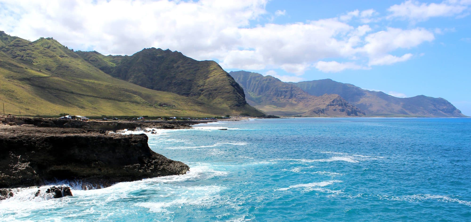
Kaʻena Point Trail — Waiʻanae / Mākua
West Oahu
The Waiʻanae-side route begins at Keawaʻula (Yokohama Bay) / Kaʻena Point State Park and follows the western coastline toward the tip of Oʻahu.
Unlike ridge hikes, there is almost no elevation gain. The challenge comes from:
● Distance ● Heat ● Sun exposure ● Wind ● Remote location ● Uneven coastal terrain
The trail ends at Kaʻena Point Natural Area Reserve, one of Hawaiʻi’s most important seabird nesting areas.
🚨 Roamwise Access Status Category Status
Official Trail ✅ Yes
Trail Maintained ✅ Yes Legal Access ✅ Yes (when open) Navigation Allowed ✅ Yes
Dogs ❌ Not allowed Drones ❌ Not permitted Current Conditions Verify before departure
The trail is official, but access can change because of:
● High surf ● Storm damage ● Road closures ● State park restrictions
Always verify current DLNR status before sending users.
- Hazards / conditions:
- Strong sun; Long walk back; Little shade; Loose rocks; Wind
- Safety notes:
- Best season: Year-round
- Best arrival time:
- Sunrise
Reviews: Google MapsYelp
Local tips
- •Bring more water than you think you need.
- •Start early or near sunset.
- •Do not underestimate the heat because the trail is flat.
- •Bring binoculars—the wildlife is one of the main reasons to visit.
- •Respect the Natural Area Reserve boundaries.
- •Check DLNR conditions before going because storms can affect access.
Pairs well with: Waiʻanae food trucks, Local plate lunch spots, Nearby gas stations for drinks/snacks, Yokohama Bay (Keawaʻula Beach), Makua Beach, Mākua Cave, Waiʻanae Coastline, Kuaʻāina Road viewpoints
Save places as you browse, then plan a trip built around your list.
View saved places →